


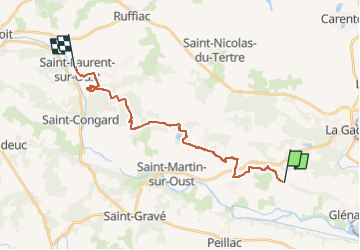

13,9 km | 16,6 km-effort

Gebruiker


Gratisgps-wandelapplicatie
 SityTrail
IGN / Geografische instituten
SityTrail World
De wereld gaat voor u open
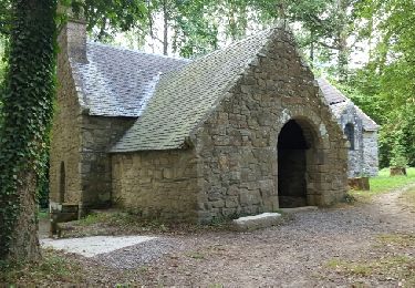
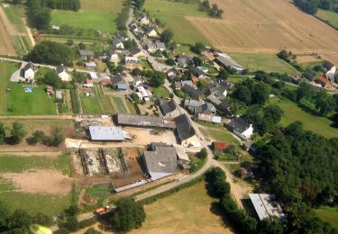
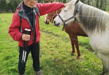
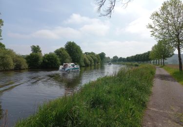
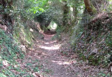
Tocht Stappen van 20 km beschikbaar op Bretagne, Morbihan, Les Fougerêts. Deze tocht wordt voorgesteld door patrickdanilo.
Randonnée Marche de 20 km à découvrir à Bretagne, Morbihan, Les Fougerêts. Cette randonnée est proposée par patrickdanilo.


Te voet
Stappen
Stappen

Stappen
Stappen
Wegfiets

Stappen
Stappen